How to Get to Gros Piton: Hiking Guide & Trail Information
Embarking on the Gros Piton hike is a quintessential St. Lucian adventure, offering unparalleled views and a true sense of accomplishment. This comprehensive guide provides all the essential information you need to plan, prepare for, and successfully navigate this iconic trail.
Planning Your Gros Piton Hike
Before you even set foot on the trail, a little planning goes a long way. Understanding what to expect will enhance your experience and ensure your safety.
Why Hike Gros Piton?
Standing at 2,619 feet (798 meters),Gros Piton is more than just a mountain; it's a UNESCO World Heritage site and a symbol of St. Lucia. The challenging ascent culminates in breathtaking panoramic vistas of the island, the Caribbean Sea, and its smaller sibling, Petit Piton. It's an opportunity to connect with nature, push your limits, and earn one of the most rewarding views in the Caribbean.
Best Time to Hike
The dry season, typically from December to May, offers the most favorable conditions with less rain and cooler temperatures. However, hiking early in the morning, regardless of the season, is highly recommended to avoid the intense midday heat and humidity. Starting between 7:00 AM and 8:00 AM will give you a significant advantage.
Fitness Level Required
The Gros Piton hike is consideredmoderate to challenging. It involves significant elevation gain, uneven terrain, rocky paths, and some sections that require scrambling and the use of ropes. While not technically difficult, a good level of cardiovascular fitness and strong knees are essential. It is not recommended for individuals with significant mobility issues or very young children.
Essential Gear & What to Bring
- Sturdy Hiking Shoes:Non-negotiable. Ensure they have good ankle support and grip.
- Plenty of Water:At least 2-3 liters per person. Dehydration is a real risk.
- Snacks:Energy bars, fruit, nuts to keep you fueled.
- Sun Protection:Hat, sunglasses, and high SPF sunscreen.
- Lightweight Rain Gear:Tropical showers can occur unexpectedly.
- Small Backpack:To carry your essentials comfortably.
- Camera:For those unforgettable summit photos.
- Insect Repellent:Especially during the wetter months.
- Small First-Aid Kit:Blister plasters, pain relievers.
Getting to the Gros Piton Trailhead
The Gros Piton trailhead is located in the community of Font L'Abbay, just south of the town of Soufriere. It's well-marked and relatively easy to find once you're in the vicinity.
Transportation Options
How you reach the trailhead will depend on your accommodation's location, budget, and preference for independence.
Rental Car
If you've rented a car, driving yourself offers flexibility. However, be prepared for St. Lucia's roads, which can be steep, narrow, and winding, particularly as you approach Soufriere. From areas like Rodney Bay or Marigot Bay, the drive can take 1.5 to 2 hours. Ensure your vehicle has good ground clearance, and consider a 4x4 if you're not confident with challenging terrain.
Taxi or Private Transfer
This is often the most convenient and stress-free option. Taxis are readily available across the island, and many drivers are experienced in navigating the route to the trailhead. They can also wait for you or arrange a pick-up time, removing the hassle of parking and navigation. Discuss the fare beforehand.
Organized Tour
Several tour operators offer organized excursions to Gros Piton. These often include round-trip transportation from your accommodation, the mandatory guide fee, and sometimes even post-hike refreshments or a visit to other nearby attractions such as the Sulphur Springs or Diamond Botanical Gardens. This can be a great option for solo travelers or those who prefer an all-inclusive experience.
Tip:Regardless of your chosen transport, inform your driver or guide of your estimated hiking duration, typically 4-5 hours round trip, including summit time.
The Gros Piton Hiking Trail Experience
The hike to the summit of Gros Piton is a round trip of approximately 4 miles (6.4 km) with an elevation gain of around 2,000 feet (600 meters) from the trailhead. Most hikers complete it in 4-5 hours, but pace yourself and allow for breaks.
Trail Overview
The trail is divided into four quarters, each presenting a different challenge and offering unique views. You'll gain a significant amount of elevation quickly, so be prepared for a consistent climb.
The Ascent: Section by Section
- First Quarter:This initial section is generally the easiest, with a relatively gentle slope through lush forest. It's a good warm-up, but don't be fooled; the real work begins soon. You'll pass agricultural areas and experience the rich biodiversity of the Piton Management Area.
- Second Quarter:The trail becomes noticeably steeper and more rugged here. Expect natural rock steps, exposed tree roots, and some loose gravel. This section demands more effort but offers occasional glimpses through the trees, hinting at the views to come.
- Third Quarter:This is often considered the most challenging part of the hike. The incline increases significantly, and you'll encounter sections where fixed ropes are provided to assist with scrambling up steep rock faces. Focus on your footing and take advantage of the handholds.
- Fourth Quarter:While still steep, the final push to the summit is incredibly rewarding. As you near the top, the vegetation thins, and the views begin to open up dramatically. The air feels cooler, and the sense of anticipation builds.
Guide Requirement
It ismandatoryto hike Gros Piton with a certified local guide. These guides are not only crucial for your safety and navigation but also provide invaluable insights into the local flora, fauna, history, and culture of the area. They are often from the communities surrounding the Pitons and are highly knowledgeable about the trail. Their fee is typically paid at the trailhead and is separate from any tour package you might book.
Safety Tips
- Stay Hydrated:Drink water consistently, even if you don't feel thirsty.
- Pace Yourself:Don't try to keep up with faster hikers. Listen to your body and take breaks.
- Watch Your Footing:The trail can be slippery, especially after rain.
- Follow Your Guide:They know the trail intimately and will advise on the safest path.
- Protect from the Sun:Even on cloudy days, the tropical sun can be intense.
What to Expect at the Summit
The summit of Gros Piton offers truly spectacular 360-degree views. You'll be treated to unparalleled vistas of the entire south of St. Lucia, including the town of Soufriere, the lush valleys, the sparkling Caribbean Sea, and the iconic Petit Piton rising majestically from the water. On clear days, you might even spot the neighboring island of St. Vincent. Take your time to soak it all in, enjoy a well-deserved snack, and capture some incredible photos.
After Your Hike: Nearby Attractions & Relaxation
After conquering Gros Piton, you'll likely be tired but exhilarated. The Soufriere region offers several ways to relax and continue exploring.
Post-Hike Activities
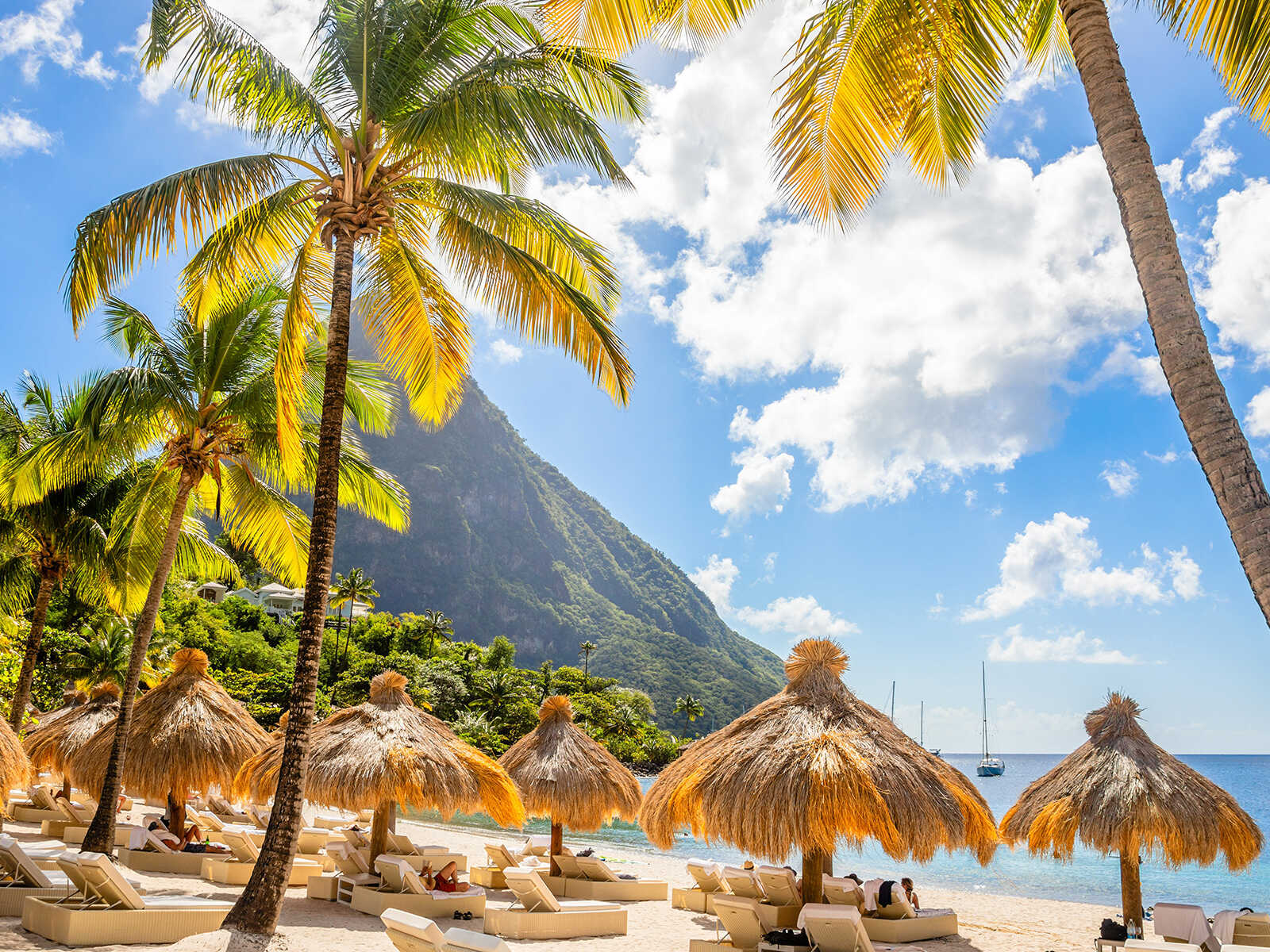
- Relax at a Beach:Head to a nearby beach like Anse Chastanet Beach for a refreshing swim in the Caribbean Sea.
- Explore Soufriere:Discover the charm of this historic town, grab a local meal, or simply unwind.
- Sulphur Springs:Soothe your muscles with a therapeutic mud bath at the Sulphur Springs, the Caribbean's only drive-in volcano.
- Diamond Botanical Gardens:Stroll through the beautiful Diamond Botanical Gardens and marvel at the waterfall.
Hiking Gros Piton is an unforgettable experience that blends physical challenge with immense natural beauty. With proper preparation and a spirit of adventure, you'll be well-equipped to conquer this St. Lucian icon and create lasting memories.