The Richat Structure Explained: Geology of the Eye of the Sahara
Deep within the vast, arid expanse of Mauritania’s Adrar Plateau lies one of Earth's most striking geological wonders: the Richat Structure. Often dubbed the "Eye of the Sahara," this colossal, circular formation presents an otherworldly spectacle, baffling early explorers and captivating scientists to this day.
From high above, its concentric rings create an unmistakable bullseye pattern, a natural beacon in the otherwise featureless desert. Far from being the result of a meteor impact as once speculated, the Richat Structure is a testament to millions of years of geological forces and erosion, revealing a complex story etched into the very crust of our planet.
What is the Richat Structure?
The Richat Structure is an enormous, deeply eroded, circular geological dome, approximately 40 kilometers (25 miles) in diameter. Located in west-central Mauritania, it's a prominent landmark, so distinct it's visible from space and has even served as a navigational aid for astronauts. Its striking appearance, with multiple rings of varying colors and textures, has earned it its evocative nickname: the "Eye of the Sahara."
For centuries, locals knew of its existence, but it was only with the advent of space travel that its true scale and unique morphology became globally recognized. Early theories ranged from an ancient meteor crater to a volcanic caldera, but modern geological research has painted a different, equally fascinating picture.
Unraveling the Geological Mystery
The journey to understanding the Richat Structure has been a long one, evolving with scientific advancements. What was once a subject of intense speculation is now largely understood as a unique example of Earth's dynamic processes.
From Impact Crater to Dome
For many years, the Richat Structure was widely believed to be the remnant of a colossal meteorite impact. Its perfectly circular shape and impressive size seemed to fit the profile of such an event. However, detailed geological studies, including fieldwork and analysis of rock samples, gradually debunked this theory.
Scientists found no definitive evidence of shock metamorphism – the characteristic changes in rocks caused by the extreme pressures of an impact. Instead, the evidence pointed towards a different origin: a deeply eroded geological dome. This understanding transformed our perception of the "Eye," shifting it from a scar of cosmic collision to a masterpiece of terrestrial tectonics and erosion.
The Anatomy of the Eye
At its core, the Richat Structure is a vast, circular anticline – an upward-folding of rock layers, much like an inverted bowl. The concentric rings that give it its distinctive "eye" appearance are, in fact, layers of sedimentary rock of different ages and compositions. These layers were originally deposited horizontally over millions of years, primarily during the Proterozoic and Paleozoic eras.
- The Rings:These consist mainly of quartzite, sandstone, and limestone, each eroding at different rates, creating the visible topographic relief. The harder quartzite layers form more prominent ridges, while softer sandstones and limestones erode into valleys.
- The Central Area:Within the innermost rings, the geology becomes more complex. Here, scientists have identified various igneous rocks, including gabbros, rhyolites, and carbonatites, as well as kimberlites – a type of igneous rock known for sometimes containing diamonds. These rocks suggest that magmatic activity played a crucial role in the structure's formation.
- Breccia and Hydrothermal Alteration:Evidence of breccia (fragmented rock cemented together) and hydrothermal alteration (changes in rock due to hot, mineral-rich fluids) further supports a non-impact origin, pointing instead to internal geological processes.
How Did It Form?
The prevailing scientific theory describes the formation of the Richat Structure as a multi-stage process spanning hundreds of millions of years:
- Uplift:Around 100 million years ago, during the Cretaceous period, a localized plume of magma rose from deep within the Earth's mantle beneath the area. This magma pushed upwards, causing the overlying sedimentary rock layers to dome or bulge, forming a giant blister on the Earth's surface.
- Intrusion and Fracturing:While the magma didn't erupt as a volcano, it intruded into the overlying sedimentary rocks, creating a network of dikes and sills. The immense pressure from below also caused the dome to fracture in a radial pattern, like spokes on a wheel, and concentrically, forming circular faults.
- Hydrothermal Activity:Hot, mineral-rich fluids circulated through these fractures, altering the surrounding rocks and depositing new minerals, further contributing to the complex geology.
- Erosion:Over tens of millions of years, once the uplift ceased, the relentless forces of wind and water began to strip away the softer overlying rocks. The differential erosion of the harder and softer sedimentary layers, along with the exposed igneous intrusions, gradually carved out the distinctive concentric rings we see today. The erosion eventually exposed the "root" of the dome, revealing the deeper, older rock layers and the central igneous complex.
The Richat Structure, therefore, is not a crater but a deeply eroded geological dome, a window into Earth's ancient processes.
The Richat Structure is so immense and distinct that it was designated as an "Earth Observation Priority Site" by NASA astronauts, serving as an easily identifiable landmark during orbital missions.
Why is it Called the "Eye of the Sahara"?
The moniker "Eye of the Sahara" is a direct result of the structure's appearance from an elevated perspective. From the ground, it's merely a series of low-lying hills and valleys, indistinguishable from much of the surrounding desert. However, from an airplane, satellite, or the International Space Station, the combination of its near-perfect circularity and the distinct concentric rings creates an uncanny resemblance to a giant eye staring out from the desert.
This visual metaphor captures the awe and mystery that the formation inspires, making it one of the most photographed geological features on Earth from orbit.
Visiting the Richat Structure
For adventurous travelers, witnessing the Richat Structure firsthand is an unforgettable experience, offering a blend of geological wonder and rugged desert exploration.
Location and Access
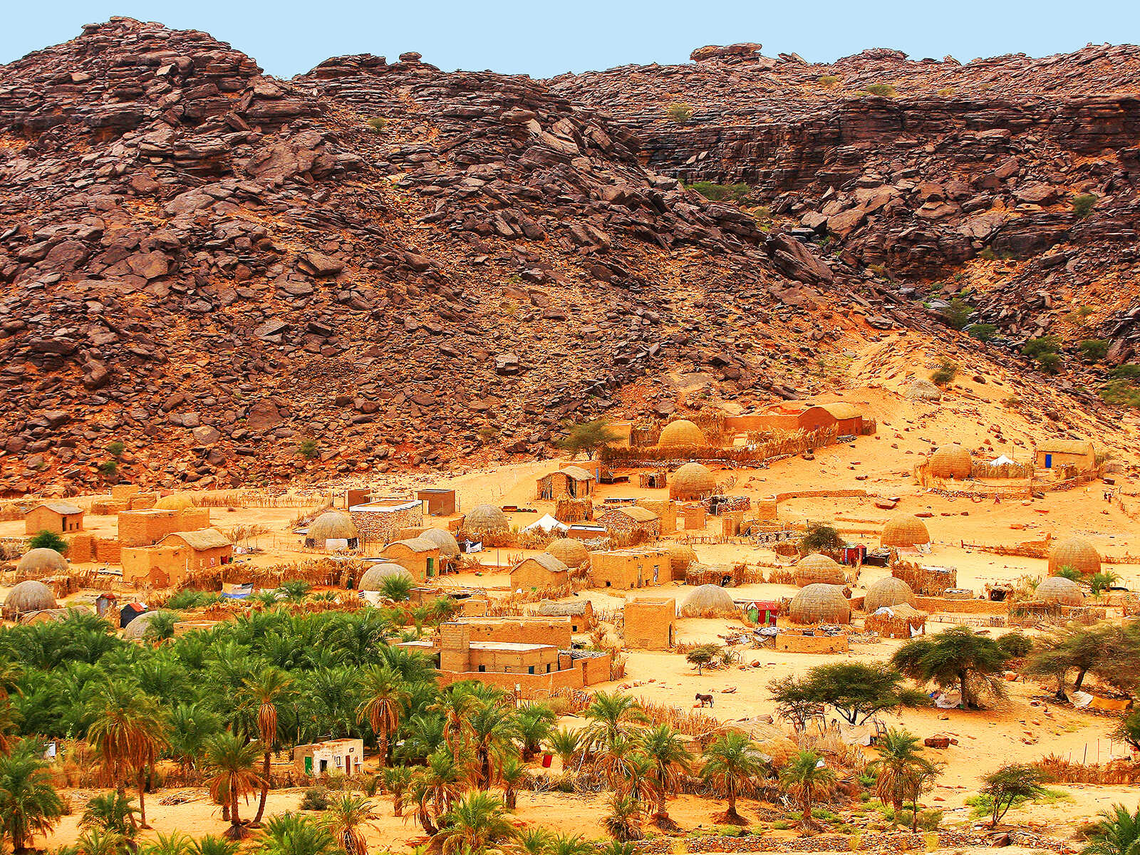
The Richat Structure is located in a remote part of the Adrar Plateau, approximately 500 kilometers (310 miles) east of Mauritania's capital, Nouakchott. It is best accessed from the ancient caravan towns of Ouadane or Chinguetti, both UNESCO World Heritage sites, which are themselves major draws for visitors to Mauritania.
Reaching the structure requires a sturdy 4x4 vehicle and, crucially, an experienced local guide. The terrain is challenging, with vast stretches of sand and rocky wadis, and there are no marked roads or facilities around the structure itself. Independent travel without proper preparation and guidance is not recommended.
What to Expect
Once you venture into the heart of the Richat Structure, you'll be immersed in a landscape unlike any other. On the ground, the concentric rings manifest as a series of gentle ridges and depressions, showcasing the different erosional patterns of the rock layers. You can explore the various geological features up close, observing the distinct colors and textures of the quartzite, sandstone, and limestone.
The sheer scale is humbling, and while you won't see the "eye" shape from the ground, you'll appreciate the vastness of the desert and the intricate details of its geology. Many visitors combine a ground exploration with a scenic flight (if available and arranged in advance) for the ultimate perspective of this natural marvel.
Essential Tips for Travelers
- Guided Tours:Always book a tour with a reputable local operator who knows the area well.
- Vehicle:A reliable 4x4 is non-negotiable for navigating the challenging desert terrain.
- Water and Supplies:Carry ample water, food, and emergency supplies. There are no services once you leave the main towns.
- Navigation:Your guide will handle navigation, but it’s wise to have backup GPS devices.
- Sun Protection:The Sahara sun is intense. Pack hats, sunglasses, high-SPF sunscreen, and light, long-sleeved clothing.
- Best Time to Visit:The cooler months from October to April offer more comfortable temperatures for desert travel. Avoid the scorching summer months.
- Respect the Environment:Practice leave-no-trace principles to preserve this pristine natural wonder.
Beyond the Eye: Exploring Mauritania's Wonders
While the Richat Structure is a highlight, Mauritania offers a wealth of other unique experiences. Combine your geological adventure with visits to:
- The ancient libraries and vibrant markets of Chinguetti and Ouadane.
- The tranquil oasis of Terjit, offering a refreshing respite in the desert.
- The incredible birdlife and coastal ecosystems of Banc d'Arguin National Park, a UNESCO World Heritage site on the Atlantic coast.
Mauritania is a land of profound natural beauty and rich cultural heritage, and the Richat Structure stands as one of its most compelling invitations to explore the wonders of our planet.
The Richat Structure is more than just a geological curiosity; it’s a powerful reminder of Earth’s ancient, dynamic processes and the incredible beauty that can emerge from them. For those seeking adventure and a deeper understanding of our planet, the "Eye of the Sahara" is an unparalleled destination, offering a glimpse into geological time on a truly epic scale.